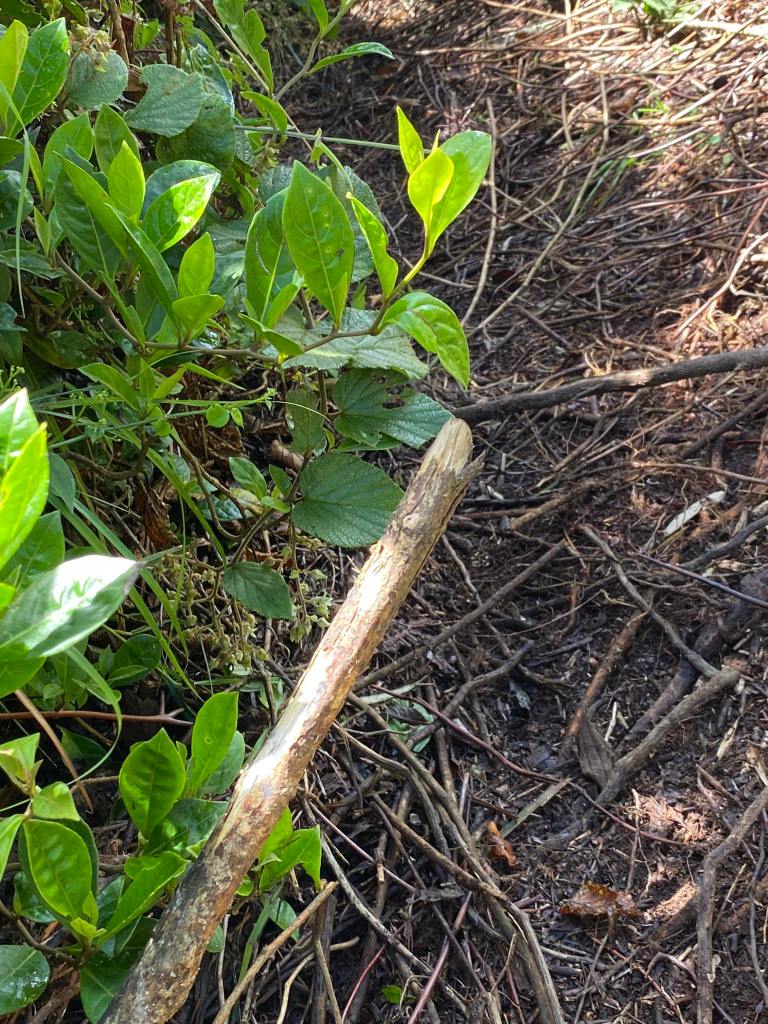
I was walking in the pandan riddled trail when the rain suddenly came. I foresaw it because I checked the weather for the past few days. Yet, I was still unprepared. A foot away I saw a stick like figure. It was upright, and it was swinging like a metronome. I knew for that moment that it was a limatik, a forest leech in Filipino, a brown large one. As I saw it, I ran back to the trail I passed. Never did I felt so alone and cold.
Mt. Sicapoo is located between the Ilocos Norte, and Apayao. It is considered as biodiverse for being home to diverse flora, and fauna, as well as five classes of mountain rats. It is also the water source of the Isnag people, the indigenous community of Calanasan, Apayao.
There were two trails in Mt. Sicapoo: The Solsona Rosary Trail, and The Brgy. Butao, Calanasan Trail. The former has been closed since 2019. No news of opening are yet to be seen. Meanwhile, the latter has only opened in May 2024. The two trails offer different views. The Solsona trail consists of river crossing, and trekking for four days in an open trail where only grass is your friend.
On the other hand, the latter is a forest yet technical trail.
As you can see, the two trails can be made as a traverse. The possibility of it, however, remains unclear.
Day 0
Carla, Sharon, June, and I met at Greenfield at precisely 8:00 PM. June said that the travel going to Calanasan was ten hours. He also said that we will pass through Solsona, Ilocos Norte, where we would pick up Alvin.
Day 1
At 5:00 in the morning the next day, we arrived at Solsona Public Market where we were supposed to buy supplies for the climb. However, it was still closed. This was where we picked Alvin. At 6:00 in the morning, we left Solsona and headed to Brgy. Butao.
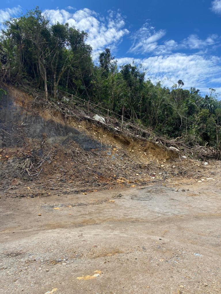
The road going to Calanasan is an adventure in itself. Unlike in Benguet where the walls are well made. Here, the highway was eroded because of the flowing water coming from the mountains. Even the road made hollow because of the water! You could also see where you are because of topography: If you can see pine trees ala Baguio, you are still in Solsona. However, if you could see lush vegetation with pandan trees and century old pine trees, you are in Apayao.
The pine trees in Apayao are interesting. Unlike in other places, these trees looks like old trees.
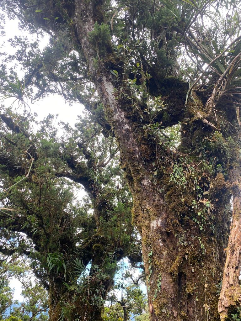
At 7:30, we arrived at the Tourism Office at Calanasan, Apayao. June told us there were three, including us, groups that would climb Mt. Sicapoo. The campsite will be crowded, I thought, and if we were not fast enough, we would not get the good camp spot. At registration, the Tourism Officer told us that we were not booked, alas! June thought that we had already booked for the climb. However, he, and Mudman the one who explored the trail had had a misunderstanding. Consequently, we were the last to go to the Kilang Pass Jump Off. We did not provide with a guide, and porter. Fortunately, Kuya Ali, the one supposed to be a guide for the first van, volunteered to be our guide.
During the delay, I had a conversation with the Tourism Officer. She said Mt. Sicapoo was sacred to them for being a water source. They also practise lapat an indigenous way of preserving the forest. An area is declared by the community as a protected area and once declared, human activity or even entry into the forest is prohibited. It is akin to muyong the Ifugao’s way of preserving the forest. This is what I like about mountaineering: You will learn new things about the indigenous people, and their culture.
At 11:22 we started the climb. But first selfie!
Group pic before the storm
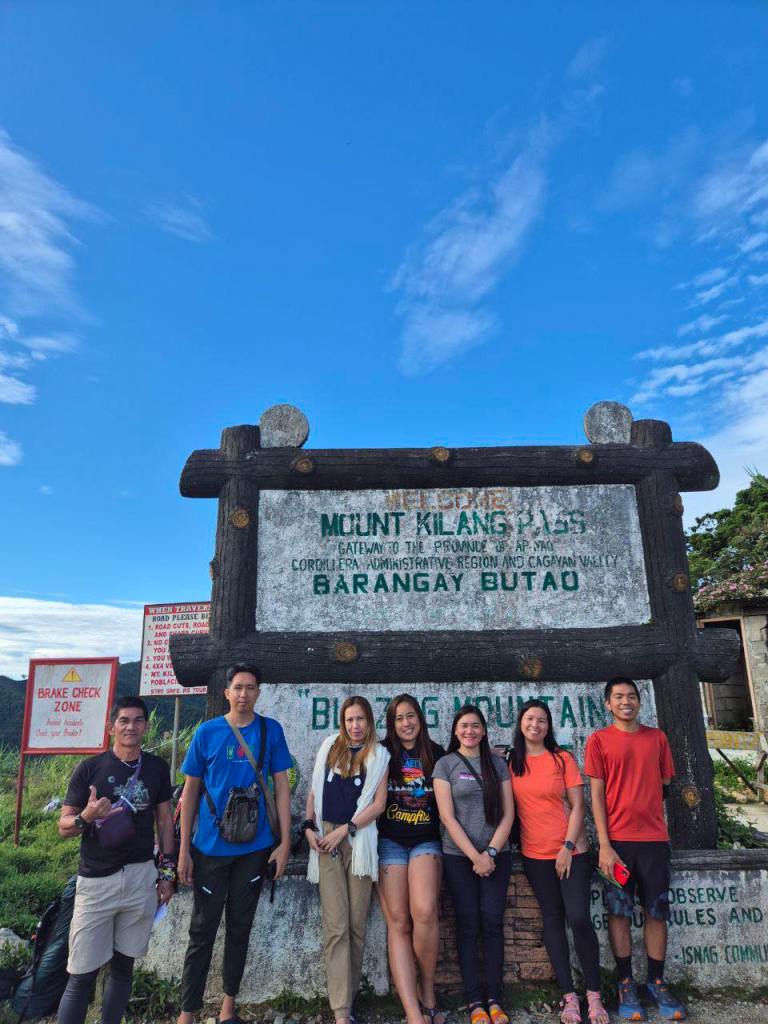
Mount Kilang is a sight to behold!
The Kilang Pass Jump Off
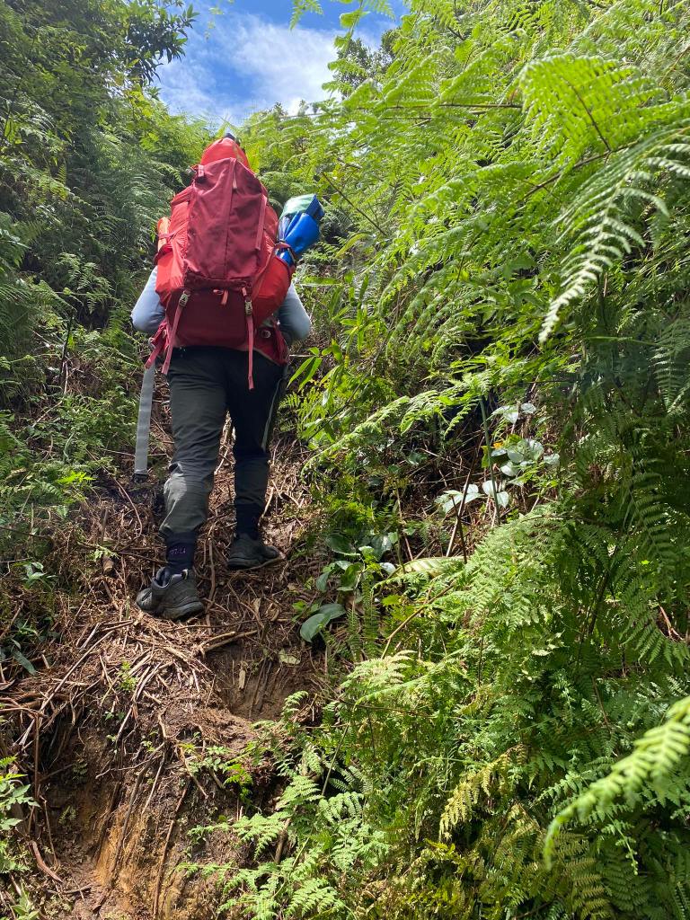
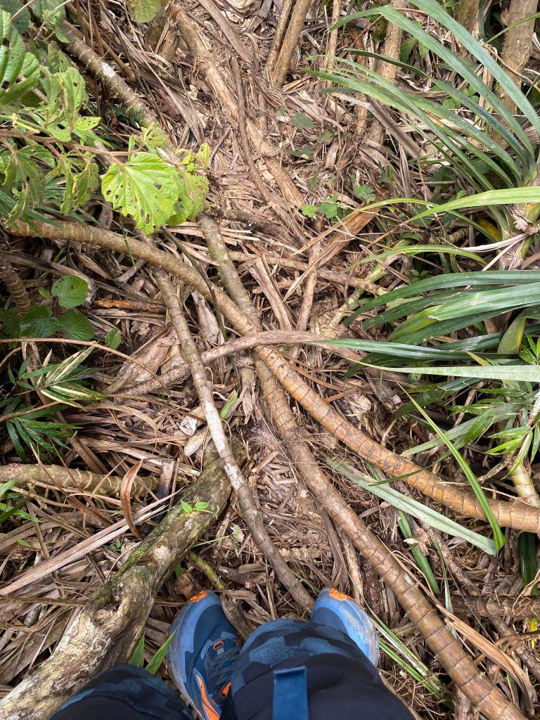
The first hour of the climb consisted of small, yet thorny plant like ferns. Kuya Ali, and I were the lead pack. You will assault this trail until you could see the coconut like roots which I could not remember its local name. The Tourism Officer told me the leaves of that plant was being made into a mat. Anyway, the trail was muddy as it always was. After a few minutes, we arrived at the bamboo laden trail. Returning to the jump off on the last day, this trail exasperated me because of the stakes at the side of the trail which will hurt any unwary hiker.
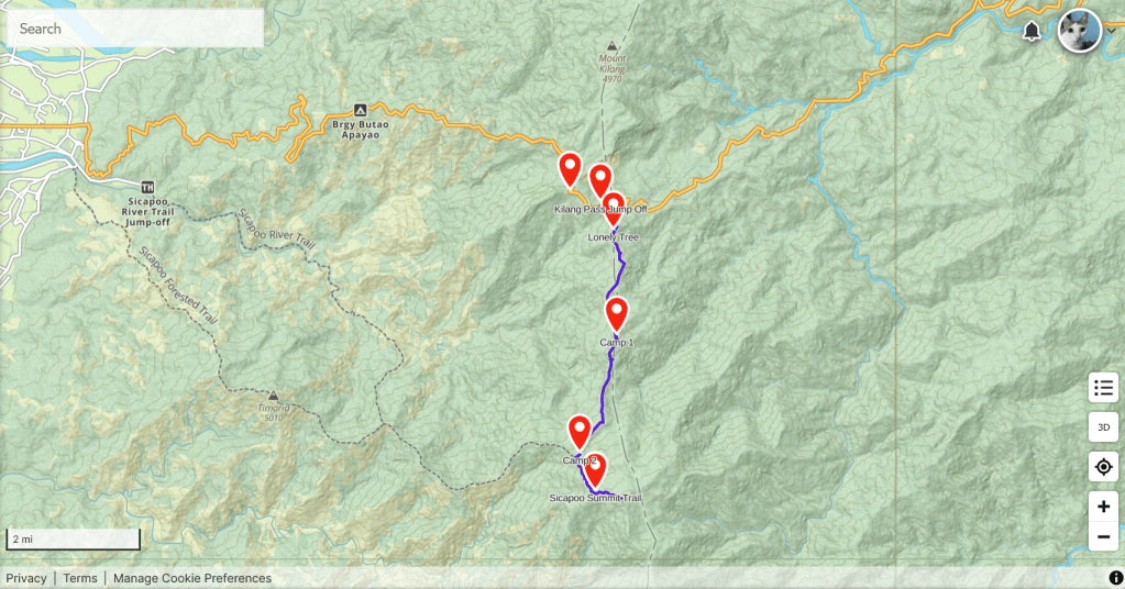
An interesting characteristic of this trail is that it alternates between mossy forest, and pandan trees, as well as rattans, and other trees,
First part of the trail
A foreshadowing what will behold in the next coming days.
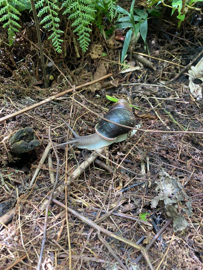
A snail along the trail!
Noon came and we arrived at the Lonely Tree. From Kilang Pass, you could see the mountain reminscent of Mt. Batulao in Nasugbu, Batangas.
We waited for the others to come and have some rest. While waiting, Kuya Ali, pointed where Cagayan was located.
Most of the trail in Day 1 consisted of fallen pandan trees.
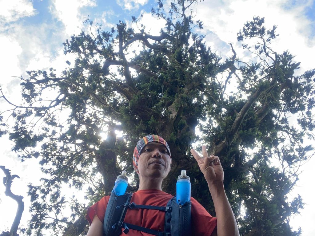
Selfie at the Lonely Tree. Oblivious on what was to come.
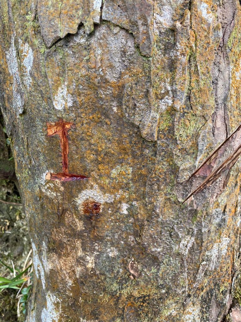
If you could see this mark in a pine tree, definitely you’re at the Lonely Tree.
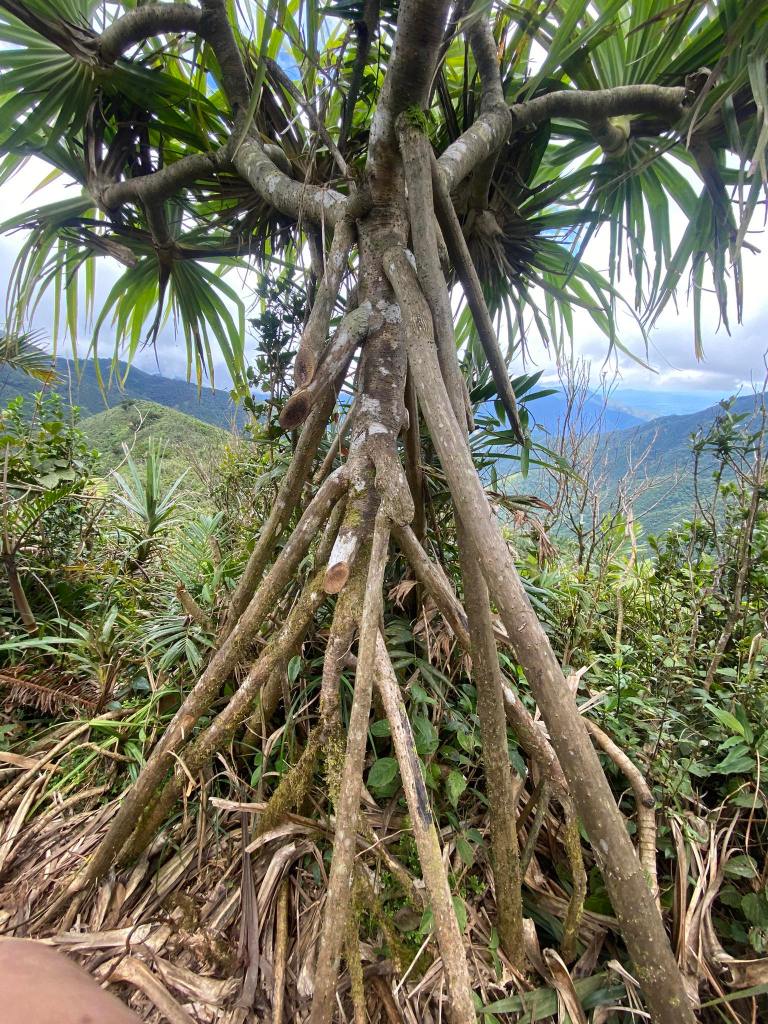
Fascinating root system!
This stake like cut is what makes the trail dangerous.
About five to ten minutes rest, Kuya Ali told me to be the lead as he waited for the others to assist them. So I heeded his advice. I huffed and puffed at this trail because it was muddy, and you needed to duck so as not to be snagged by bamboo.
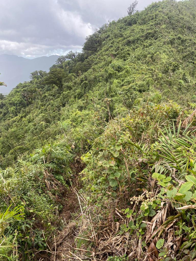
The trail in Apayao consisted of rolling hills, and ridge walks.
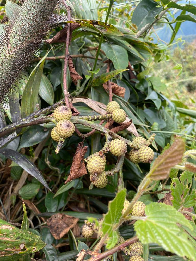
Unripe rattan fruit
A bunch of bunga de china could be seen along the trail. Never did I saw an abundance of those plants! I only saw one in Mt. Malipunyo.
12:30 in the afternoon I got to the ridge. I overtook a hiker from the second van. He welcomed me for lunch which I politely declined. Then, I entered into another mossy forest. This time, I overtook ten people from the second van. Finally, I overtook the sweep from the first van. Afterwards, I entered into the pandan trail where the downpour came. I saw the limatik, and went back to the entrance of the mossy forest. I never felt so alone and cold. I realized that you must never hike when raining! Intuitively, I waited for the people I overtook, four of them from different vans, including their guide, an alliance of three vans!
I felt secured that time knowing that people will assist you in the journey to camp 1. They assigned me as the lead.
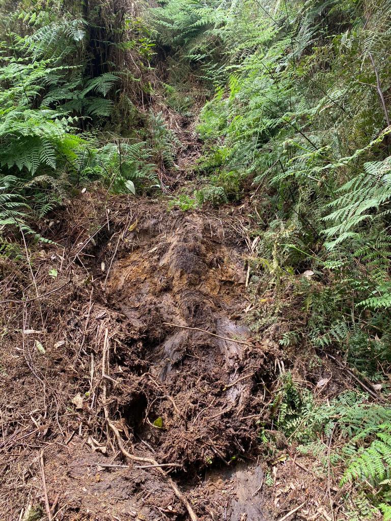
It’s hard to manage the pandan trail because of the dead pandans, and the stakes. One wrong move, and you could get impaled! Halfway through the trail was pure assault, and the 90 degree drop where you could choose two things: either use the rattan stem for support, or hoist yourself. I chose the latter. Oh, by the way, your foothold was only a branch which was slippery. A slip could fall you into a cliff!
If you pass that ordeal, you will enter into yet another mossy forest. However, the trees became the trail. I mean, you need to jump from its roots in order to surpass the tree. Hence, I called it CAFGU trail/Monkey Trail. This trail, or a little semblance of it, consisted of mossy forest, and centuries old trees which block the trail.
Passing through the CAFGU Trail, and a little assault thereafter, you will reach Camp 1.
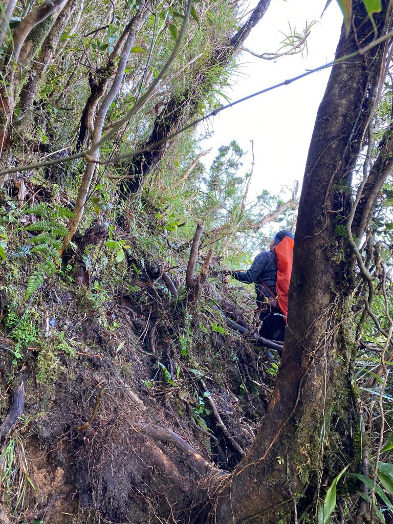
The CAFGU “trail” going to Camp 1
I was the first to reach Camp 1 in our group at 4:00 PM. Unfortunately, the good spots were already occupied, so we resorted to the upper parts of the camp, which is part of the trail going to Camp 2.
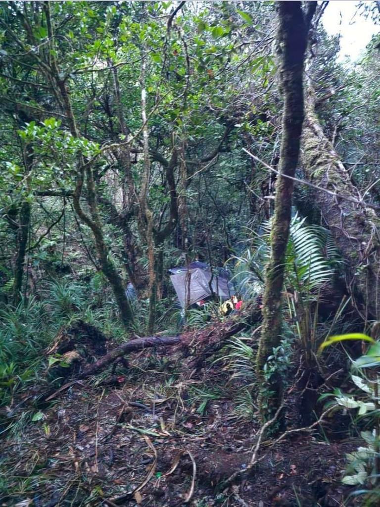
Camp 1
About an hour or so, Alvin, Carla, Sharon, June, and Kuya Ali came to the campsite.
Night came, and we ate lunch. Suddenly, one of our team shouted that Carla had a limatik on her scalp! Before they came, I asked one of the guides if this campsite was limatik infested. He said no. I should have asked him whether it was the dry, or wet season!

A limatik that was creeping on my jug.
Whew, what a day! I expected that the first day was hard but not this HARD!
Anyway, at 9:00 PM, we slept. During the night, I constantly applied Beach Hut because my spot were the nest of limatiks! Because of that, I only slept for three hours.
Dawn came, and we made the summit attempt. Stay tuned.

Hi do you have GPX file for this trail?
LikeLike
Yes I have
LikeLike
Hi sir pwede po makahinge ng copy ? nicolucino @ gmail.com po email ko
more power po sa blog nyo and see you soon in trail
LikeLike
Sige wait lang. Sorry, late reply naging busy sa life,
LikeLike