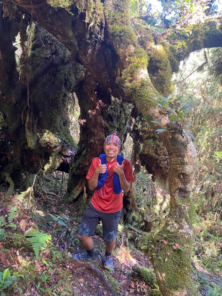
Day 2
At or about 5:00 in the morning, we ate our breakfast; an hour after, we went to Camp 2. June told us it would take us two hours from Camp 1 to Camp 2. He was right.
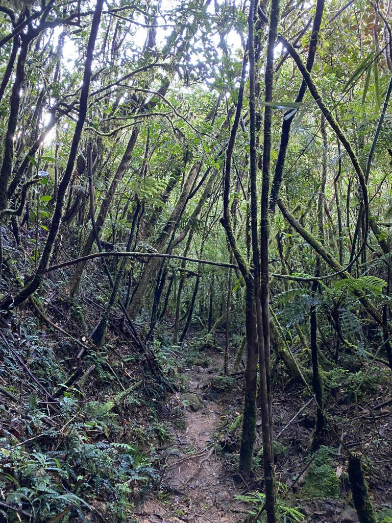
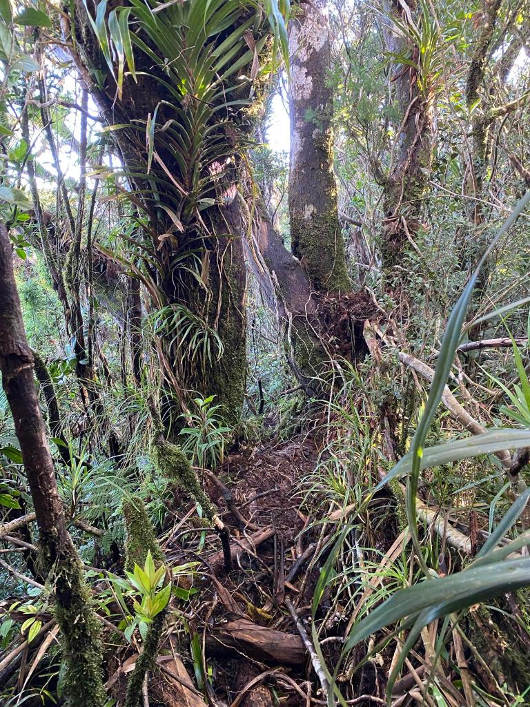
The trail was the same as the CAFGU/Monkey Trail. The only difference was, it was teeming with limatiks! From time to time, we had to check whether we had a limatik that was attached to our legs. Unfortunately, one got lucky. Oh well, limatik happened, I told myself. I could not do anything about it only to accept my fate. The group in the first van overtook us.; they were pretty fast.
A thing peculiar about the CAFGU/Monkey Trail was that it looked like an ancient forest, undisturbed by any human activity for so long a time. The Isnag conservation efforts in their ancestral domain is effective.
After an hour of navigating the CAFGU/Monkey Trail, we arrived at a trail where bushes predominantly composed the trail. A minute or so, a total of eight limatiks attached to my shoe! Later on, another limatik attached to my left leg. They were everywhere! Everytime we stopped to take some breaths, a limatik crept in. It was like a fiesta of limatiks, and we got to dance to their tune; otherwise, we would get bitten by them.
That’s why I call this trail Dancing with Limatiks.
When I got home, I got a total of 10 bites. Luckily, no limatiks got attached to my face.
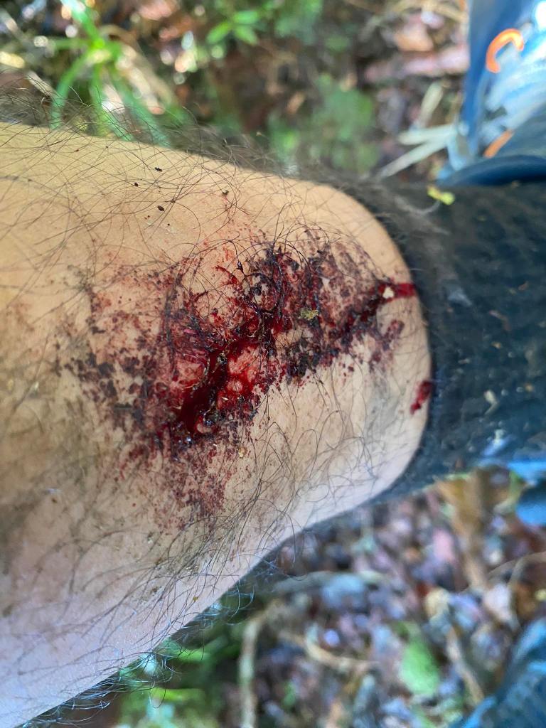
The thing about limatik is that it will be undetected by an unsuspecting host because of its anesthesia, and at the same time, it has an anti-coagulant which will result in bleeding like this one.
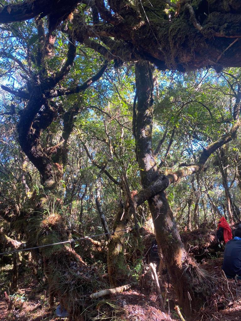
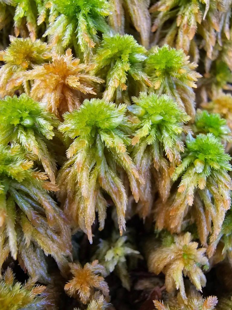
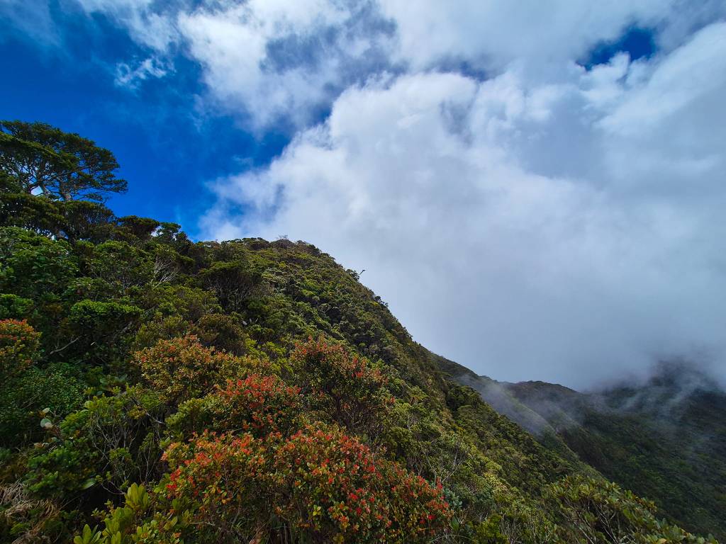
After an hour or so, we passed the sordid trail, and we entered into another mossy forest. But, it was not the same mossy forest we encountered at the start of the trek, nor during the pandan, nor CAFGU/Monkey Trail; rather, it was a magical mossy forest. Carla told it was akin to Mt. Napulauan’s mossy forest, as it is mystical. The ground was soft because of detritus. The trees shrank, as we entered in the high montane forest. There were also the remains of bonfires at the side. Kuya Ali told us it was the hunters who started those when they were hunting because they came from Ilocos.
Unlike in Camp 1, Camp 2 was an established campsite since it has a table, and bonfire for the guides. Also it was wide to accommodate 70 people.
This part of the high montane forest until Camp 2 is runnable.
At 8:12 AM, we arrived at Camp 2. We had a momentarily rest from there; we refilled our water, while the group in the first van check their limatik bites. A notable presence in this part until the summit was the al-al, or white, old tree in Kalanguya, the indigenous people living in Lake Tabeo.
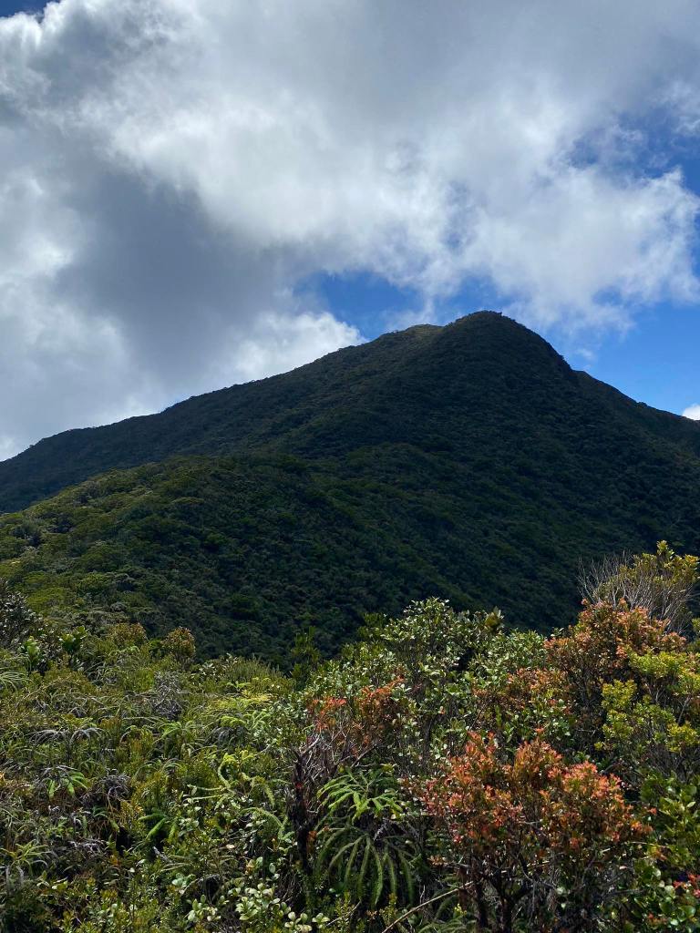
Kuya Ali emphasized that we must reach the summit by noon because the clouds might block the Penguin Rock.
Camp 2. It is much wider than the previous camp.
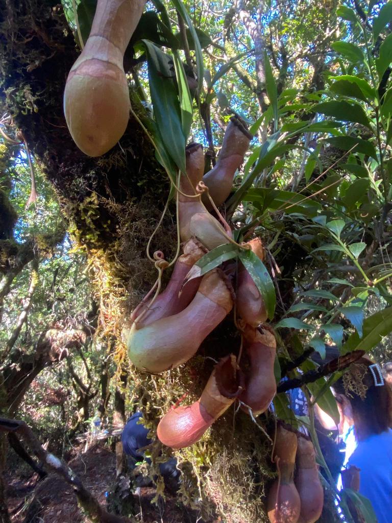
Pitcher plants hanging from the trees in Camp 2
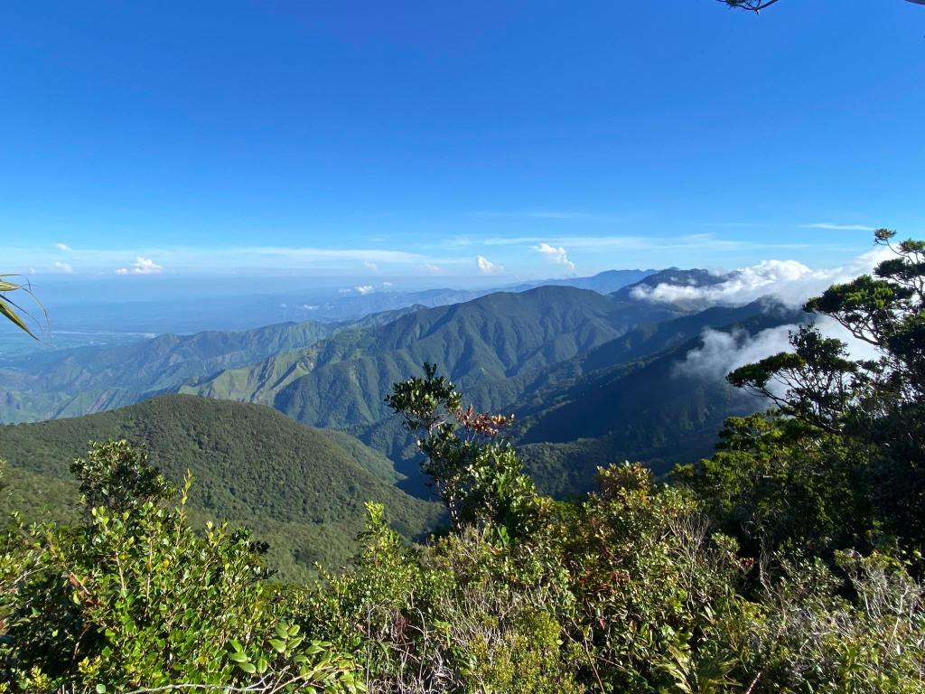
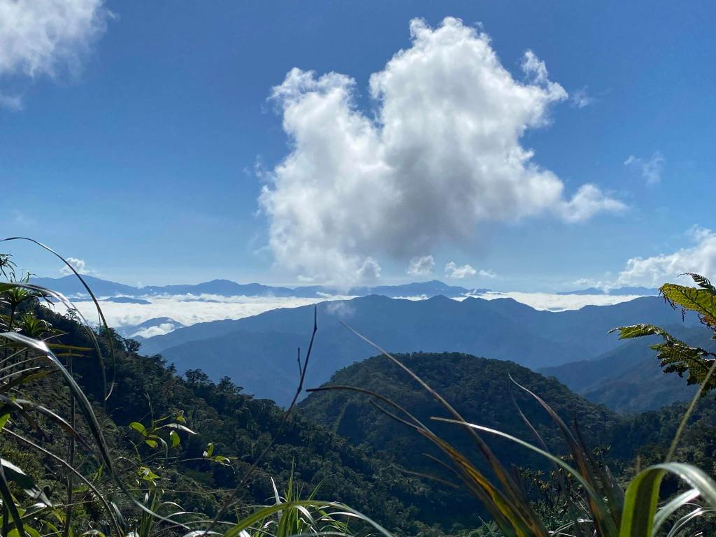
The view of Ilocos Norte, from Camp 2 view deck.
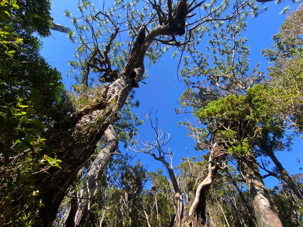
Century old pine tree with al-al
A cluster of al-al
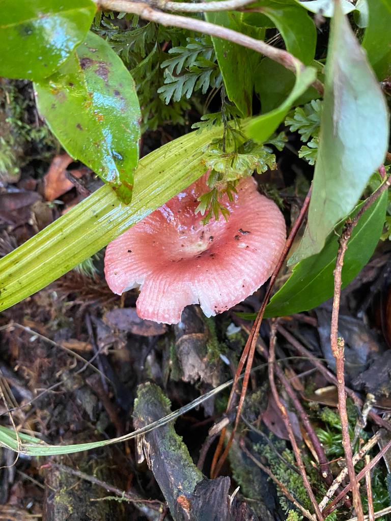
Pink Shrooms!
After eight minutes, we left Camp 2 and headed straight to Penguin Rock. Kuya Ali, and I were the lead. We were entering the Hunters’ Trail. The people of Ilocos, and Apayao used the trail for hunting animals in the forest, so it was pretty established. He pointed a junction near the water source. He said it was the old trail coming from Solsona.
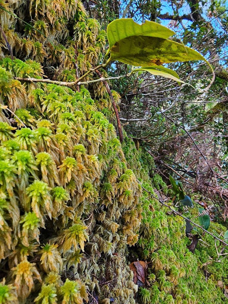
The hiker would notice the difference between the Camp 2, and the Hunter’s Trail: The moss is different, a typical mossy forest. You know that you are in Ilocos. This trail has limatiks on it. But it was not as teeming as Dancing with Limatiks
The Ilocos Side of the trail
Kuya Ali, and I continued to assault the hill. The moss in this part was different above the picture in that it looked rather like a plant than a moss.
Credits to Alvin for this pictures
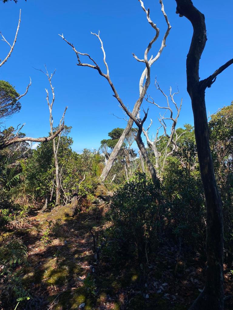
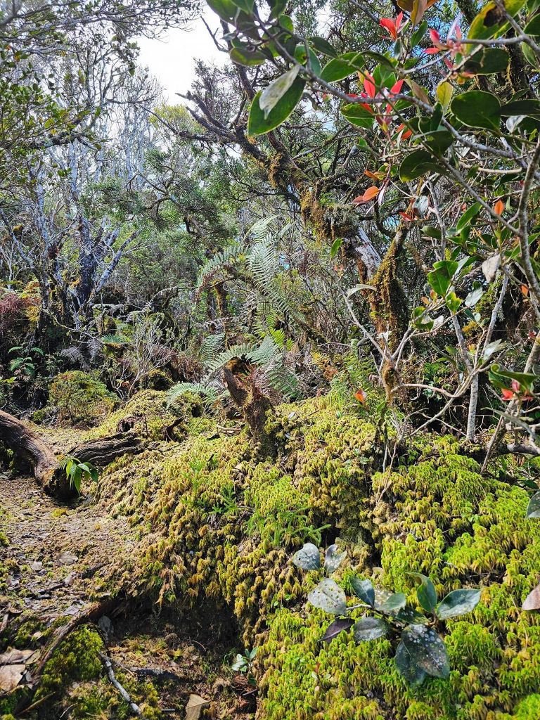
You could see that the trees dwarfen into shrubs. This is indicative of high elevation. After 30 minutes we arrived at the Summit Trail Summit. This was where the Solsona Trail ended.
Prominent flora in the summit trail
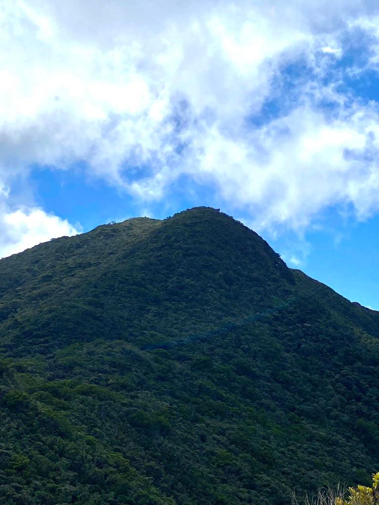
Penguin sat atop of Mt. Sicapoo
We looked so daunted by the trail. Because before we reached Penguin Rock, we must first trek through another hill. An hour was required in order to reach Penguin Rock, Kuya Ali told us. So we went. The steepness of the trail is no joke. If I remember it correctly, 90% of the summit trail were uphill! I did ran a couple of parts until I needed to take some breaths. At 10:30 in the morning, I reached the view deck of Penguin Rock. The other guide from van 1, assisted a single guy from that group. Being the only guide, he guided us to Penguin Rock.
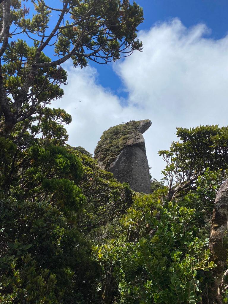
This picture is incomplete. It does not picture fully what majestic Penguin Rock looks like.
Carla, and Sharon finally reached the Penguin Rock at 10:45. While waiting for Alvin, we took some pictures. When he finally came, we completed the group pic. We decided to go down at 11:20 as we were afraid that we would caught in the brewing rain. But, we took a group picture in the view deck. I was surprised that Mt. Sicapoo was Alvin’s mother mountain!
He dreamt of this climb because he thought the trail was still in Solsona, because that’s what he read in blogs, unknowingly that Solosona Trail had been already closed since 2019. He was a tough man, for enduring so dangerous and arduous a climb. If I were a beginner, I would limp in pain because of the toughness of the trail.
We decided to go down because the group in the first van started to appear.
The descend was dangerous as it was slippery. I tried to trail run it; I slipped, almost falling down the forest floor. The three of us are only on the group, save Alvin. We were worried that being a beginner, he did not know yet the techniques of going down. So, when we reached Camp 2 at 12 noon, we waited for him for an hour.
It rained hard. It was much more harder than the yesterday’s rain.
At 57 minutes finally, he appeared. We were glad that he was not injured. Being regrouped, we decided to descend. Unprepared, I did not bring my hardshell with me. A bad decision since I am shaking because of the cold. Sharon told me to run, as the heat will insulate me from the coldness of the rain. I heeded her advice, Kuya Ali, and I ran , and in some parts jumped through the trail. At 1:00 in the afternoon or so, we reached Dancing of Limatiks.
He pointed out the three waterfalls which is unique in this trail:
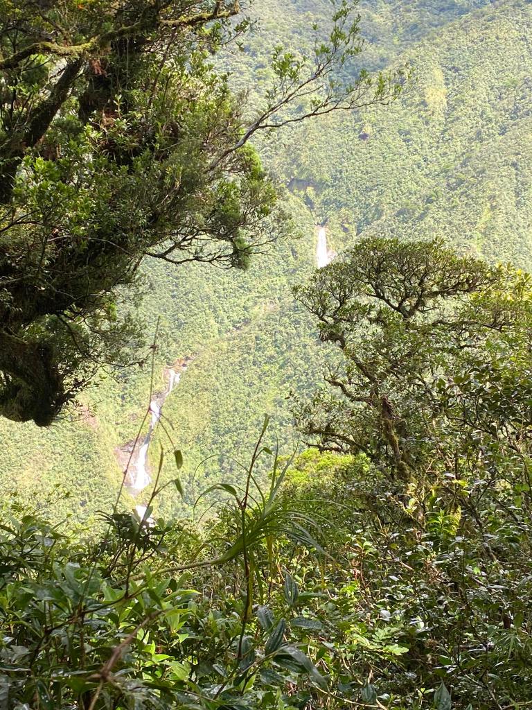
There are three waterfalls in Dance of Limatiks. How stunning those waterfalls are!
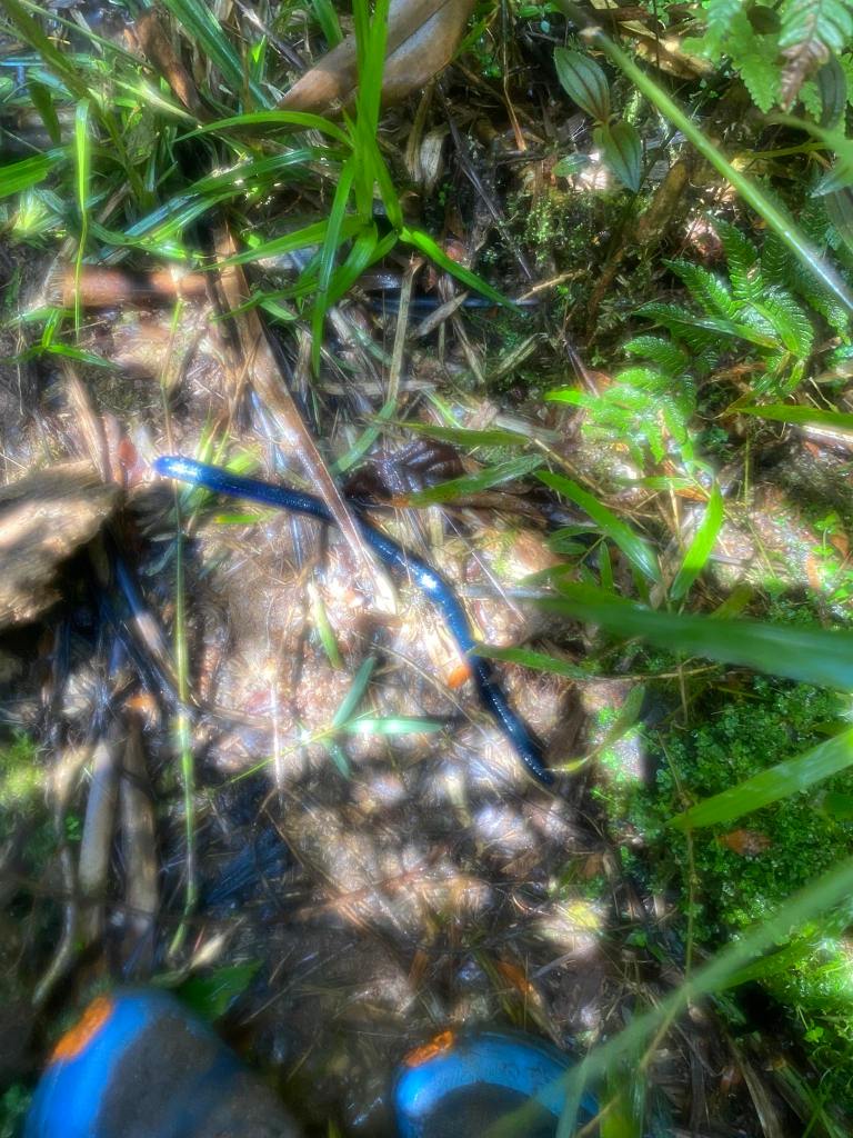
A giant blue worm. We saw three in the entirety of our hike.
As we were hurrying, I jumped from a branch near a ravine so as to pass the trail. However, the traction in my Altra failed, and I slipped. I almost fell into the ravine were it not for the lone cut tree that I held on to. Luckily, the stem was not uprooted. I hoisted myself so as to get back to the trail. In this moment did I realize that hiking in this mountain is dangerous.
I could have died. I was only lucky because of that hewn tree. It was my fault though: I relied on my shoes traction, and I put all my weight on my shoes. Thus the fall.
At 3:30 in the afternoon, we arrived at Camp 1. We were happy that we not only made it to Penguin Rock, but also we made it safe, and free from any serious injury. We talked to the camp while June prepared the food.
Sharon sat down on the log, and we shouted that she had a limatik on her ear! It’s was like a slimy, wet mutated mole on her ear. I sprayed it with alcohol, and so it let go of her. June finished cooking, and we ate our dinner. After eating our dinner, the two women decided to sleep early.
Meanwhile, the three of us talked about many things about the Sicapoo, Solsona trail, gears, hiking techniques, among other things. We slept at around 8:00 so as to recover from a tiring day. For tomorrow, we would return again to that “trail”.
Day 3
The next day we broke camp, and ate our breakfast. By 6:30 in the morning, we were prepared to traverse the CAFGU/Monkey Trail. All of us was cold because of the breeze we experienced at 2:00 AM, save Alvin because he brought a lona with him. It was so thick that it protected him from the cold breeze. Hence, he slept soundly.
Sometimes, you will something new from beginners.
June informed us that the trek from Camp 1 to Kilang Pass Jump Off would take us 6 hours. As always, I took the lead, while Kuya Ali fetched water.
We bid our goodbyes to the campers, and descended to the water source. After which the assault began. It was hard to navigate because of the mud, the slippery trees which you need to jump, and the plants you needed to hold on to because the mud was slippery
Because of the dense forest, light from the sun cannot pass through; it looks like it’s still dark.
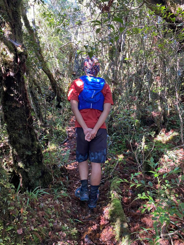
Selfie before the assault on the hell-of-a-trail.
It’s hard to navigate the trail because of the overgrowth of plants.
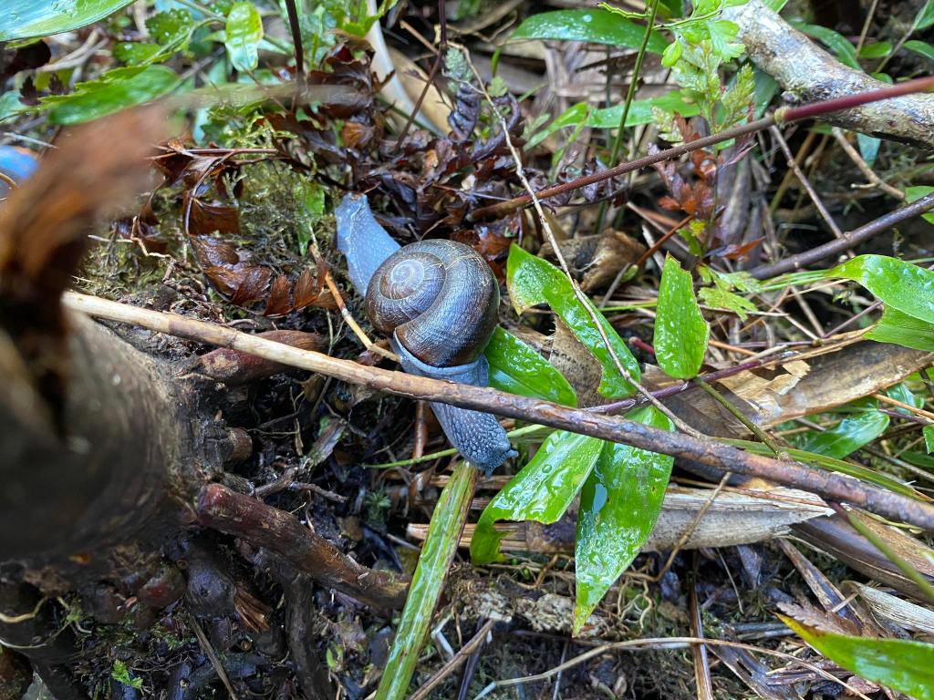
A blue snail. This is the first time I saw one.
We reached the pandan riddled trail, and they said to me to advance; so I did. I overtook the people from van 1 save the guy I met in Penguin Rock. The trail was slippery, and at the same time dangerous because of the presence of stakes in the middle, and side of the trail one stake almost impaled me because I slipped. Luckily, I hold the tip of the stake so as not to be impaled.
I could feel the heat of the trail when I reached the Lonely. It zapped my energy within me. So I took some rest, and sipped the soft flask I brought. I viewed the time in my phone; it was 10:00 in the morning. I could reach Kilang Pass Jump Off by 10:20, I thought. This was not the case, however.
The heat, as well as the assault, made it difficult to navigate the trail. So too was the presence of the coconut like roots, and the slippery mud.
That’s the beauty of hiking: Hiking is a matter of perseverance, and mental strength. That despite the hurdles nature has given us, we persevered to reach to the top. But that does not mean that we go to the top in spite of a typhoon. No. That is summit fever. Instead, calculate the risk. After all, an experienced mountaineer knows when to go down. And he/she knows that getting to the summit is optional, but getting home is mandatory.
I made to Kilang Pass Jump Off by 10:30 AM. I walked to the concrete road, and reached the DOT Registration at 10:45 AM.
June, and the others made it to the jump off at 12:27 in the afternoon. We bathe in the bathroom nearby, and tended to our bites. After an hour, we said our goodbyes to Kuya Ali. We were home bound. But we went to Vigan first to see Calle Crisologo.
I got home at 1:42 in the morning the next day. Before I went to sleep, I cleaned my caked shoes, and tended the bites. I drank a Cerveza Negra, and listened to YouTube. Afterwards, I lay on the soft bed, missing the comforts of civilization for days, and slept, grateful of the hardships that we came across during our hike, not only that our bodies got batak; also our minds got reinforced. After all, difficult circumstances build character.
Mt. Sicapoo via Brgy. Butao, Calanasan, Apayao
Jump-off point: Kilang Pass, Calanasan, Apayao
Days required / Hours to summit: 2 to 3 days
Trail Class: 1-4
Specs: Major climb
Features: Mossy forest, old growth trees, al-al,pandan, rolling hills
Rattan: Yes
Leeches: Yes
Itinerary
Day 1:
5:15 Arrived at Solsona, Ilocos Norte to buy supplies
7:30 Arrived at DoT Registration
11:22 Start climb
12:00 Lonely Tree/rest
1:00 Arrived at Camp 1
18:00 Dinner, and socials
19:00 Lights off
Day 2
4:00 Wake up
5:00 Breakfast
6:00 Left Camp 1
8:12 Camp 2
10:20 Arrived at Penguin Rock
11:00 Going down to Camp 1
15:30 Returned to Camp 1
17:00 Dinner
19:00 Lights Off
Day 3
4:45 Break Camp
5:30 Breakfast
6:30 Going to Kilang Pass Jumpoff
10:30 Arrived at Kilang Pass Jump Off
14:00 Home bound

Hi sir this is nico lucino my FB name 🙂 by chance pwede mka hinge ng copy ng GPX? more power po sa mga hike nyo 🙂
LikeLike
Sorry late reply. Sure, bigyan kita. Penge email mo
LikeLike